Ponso no Tao, the Orchid Island, Lanyu

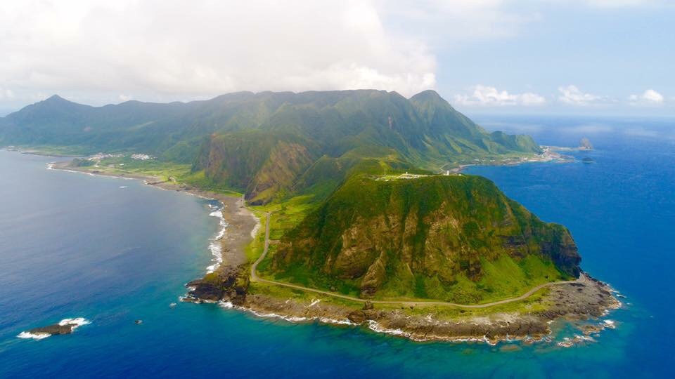
It is Taiwan’s most eastern part and second-largest satellite island and the home of the Tao. The picture above shows an overview from south to north (drone photo taken from “Little Lanyu”).
Lanyu is a volcanic island (see Geology – Traces of volcanic activity) and it looks like a green-velvet mountain (highest peak 552 m), surrounded by a flat, narrow strip of alluvial plain that stretches into a coral reef. It’s located about 90 km southeast of Taitung, Taiwan’s southernmost county, and has an area of about 45 square kilometers.
Lanyu’s attractions with map »
It’s in the range of the subtropical monsoon climate (see Weather and climate)
5.3 nautical miles southeast of Orchid Island the uninhabited island of “Little Orchid Island” is situated. It’s within the path of the Kuroshio Current and rich in fish.

